How our customers are benefiting from leveraging their point cloud data in the Cintoo cloud
For our latest webinar, we teamed up with Spar3D to host a session entitled Cintoo Cloud: the Scan & BIM platform for Architecture, Construction and Engineering Services.
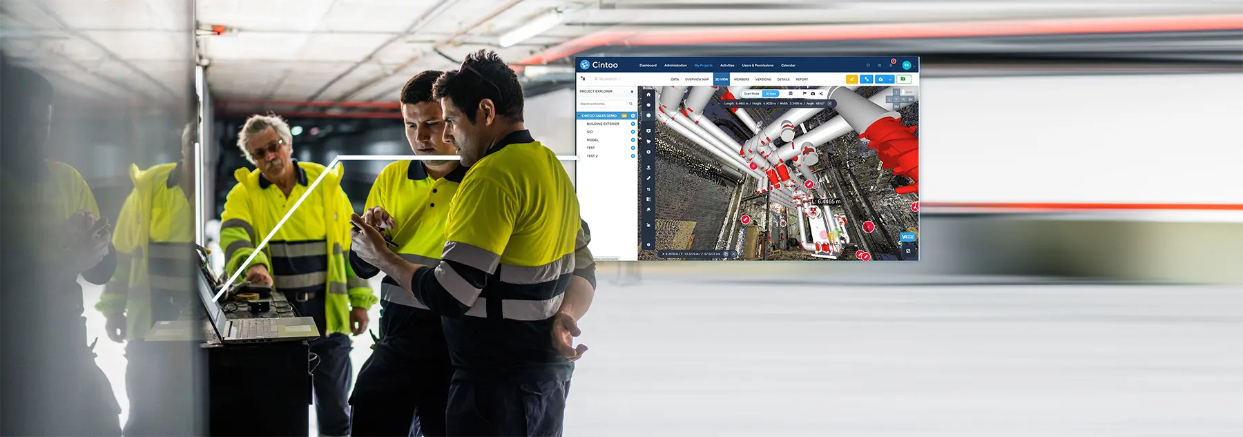
Several of our customers joined us to present about why they chose Cintoo Cloud and the benefits the platform is bringing to their project workflows.
Firstly, Kevin Grover, Geospatial Technology Leader at global design firm Stantec’s Innovation Office spoke about how Cintoo Cloud has enabled his large project teams to bring data into the platform and then share it out to team members. Being able to set permissions to control who can access and edit the data has been a key benefit for effective data management. Another critical reason for the company choosing our platform was down to the security of the data, knowing that theirs and their clients’ data is safely stored in the cloud.
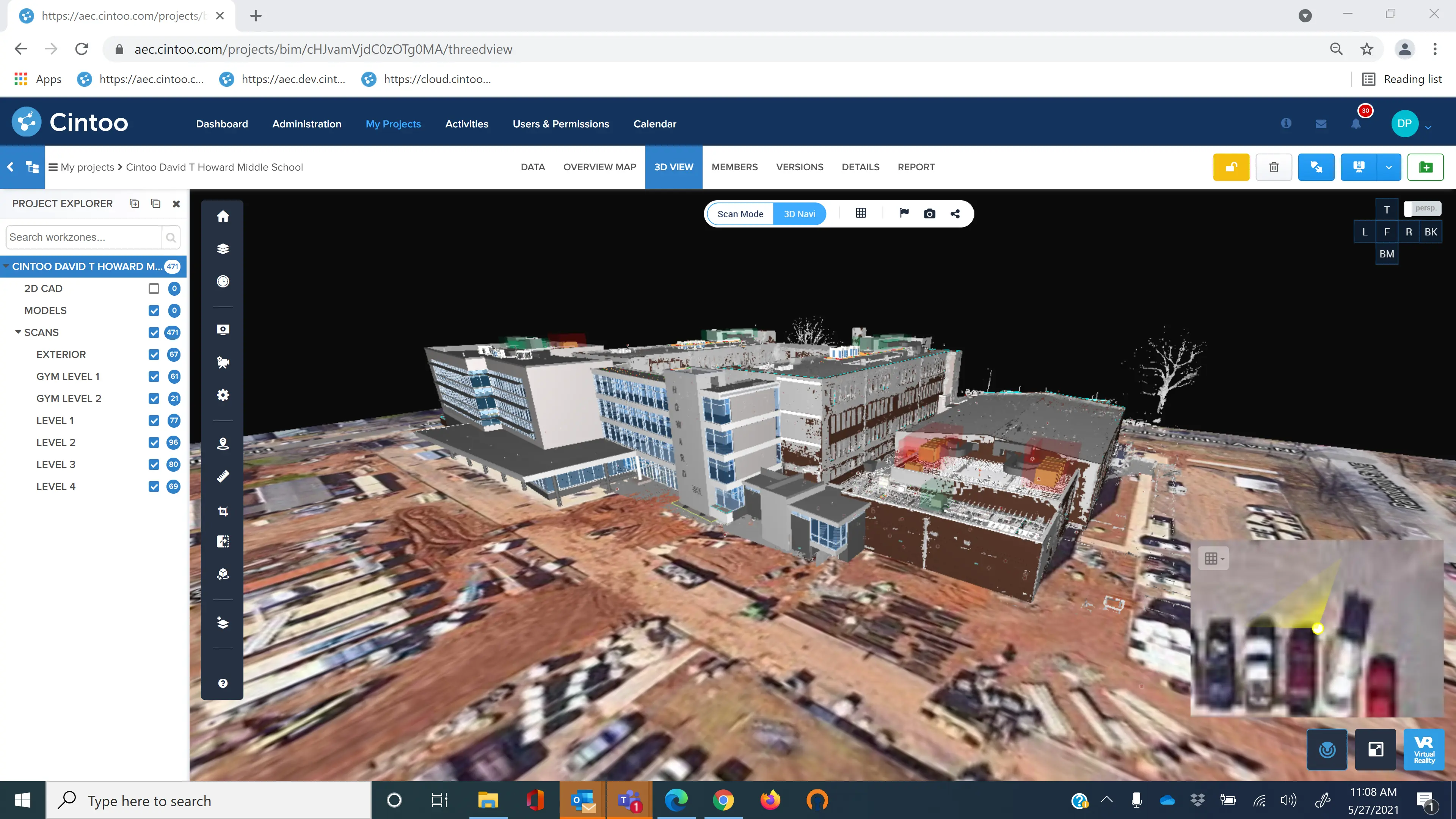
Next up, Senior BIM & Visualization Specialist, Tim Barnes from Architecture49 and Design Technology Specialist, David Avella from HOK Architects outlined how they’re using the platform to manage the huge volumes of data they’re generating for a large historical regeneration project the two companies are working on together. They have 250 to 300 concurrent users on the platform who can upload their point cloud data as 3D mesh and quickly share it with all stakeholders who need to see it. The ability to store their data on servers in Canada, where the project is located, has helped them access their data even quicker.
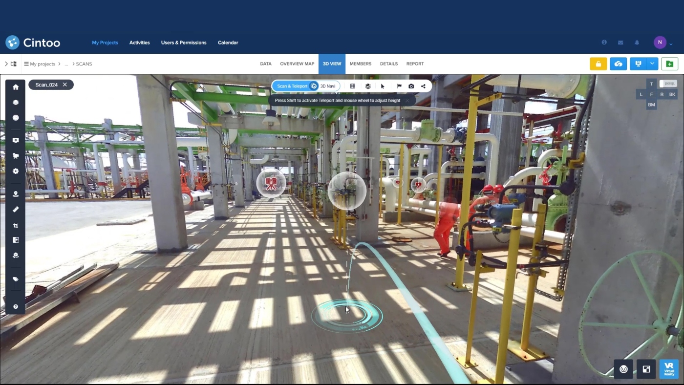
Our next speaker was Mark LaBell Jr, Senior VDC Technical Leader at SSOE, a global project delivery firm for architecture, engineering and construction management. Mark’s team has very tight deadlines to turn their project data around and by using Cintoo Cloud they can upload their massive point cloud data as 3D mesh really quickly and then share it with those that need to access and work on it, including other companies involved in the project. Furthermore, thanks to the platform’s integration with Autodesk BIM360, the team can easily upload Navisworks models to be reviewed and compared to their as-builts.
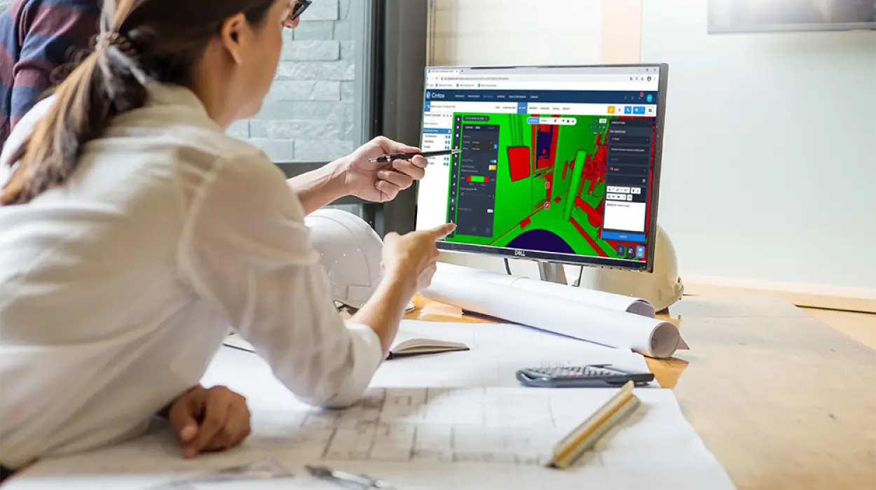
Finally, Kevin Oakley, Senior VDC Manager, and Tomislav Zigo, Vice President – Virtual Design and Construction, from real estate developer and design-build company, Clayco, discussed how the platform has helped them share their Reality Capture data widely and collaborate on it with all of their partners, quickly exchanging information to keep projects moving along. Viewing accurate as-built data is also vital, particularly for their concrete division, which needs to be able to assess details such as floor flatness to ensure quality control.
You can replay the webinar here to hear exactly how each team is leveraging their point cloud data by using our platform and the key benefits they’re gleaning from integrating it into their organizations, from the huge time savings made to streamlining workflows and quality assurance.
We work with companies worldwide, including in Europe and Australasia as well as North America. Reach out to us sales@cintoo.com to talk about how you too can get value from your laser scan data by using Cintoo Cloud to manage and distribute it and work on it collaboratively among remote project teams.