Know your strategy. Execute it with Cintoo’s help.
Monitor construction and site progress using real-world reality capture data
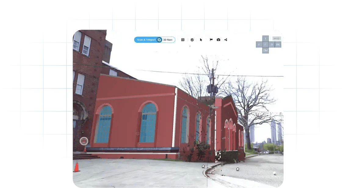
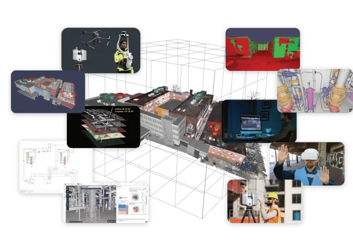
Construction and industrial teams often struggle to verify actual project status across large, fast-moving environments. Cintoo enables teams to compare BIM models against current site scans, monitor progress remotely, and collaborate around accurate as-built conditions in one cloud-based reality capture platform. By combining high-fidelity scan streaming, issue tracking, annotations, and unlimited collaboration, teams can reduce delays, improve visibility, and make faster project decisions across construction, infrastructure, manufacturing, and energy projects.
Detect coordination issues early using accurate as-built site conditions
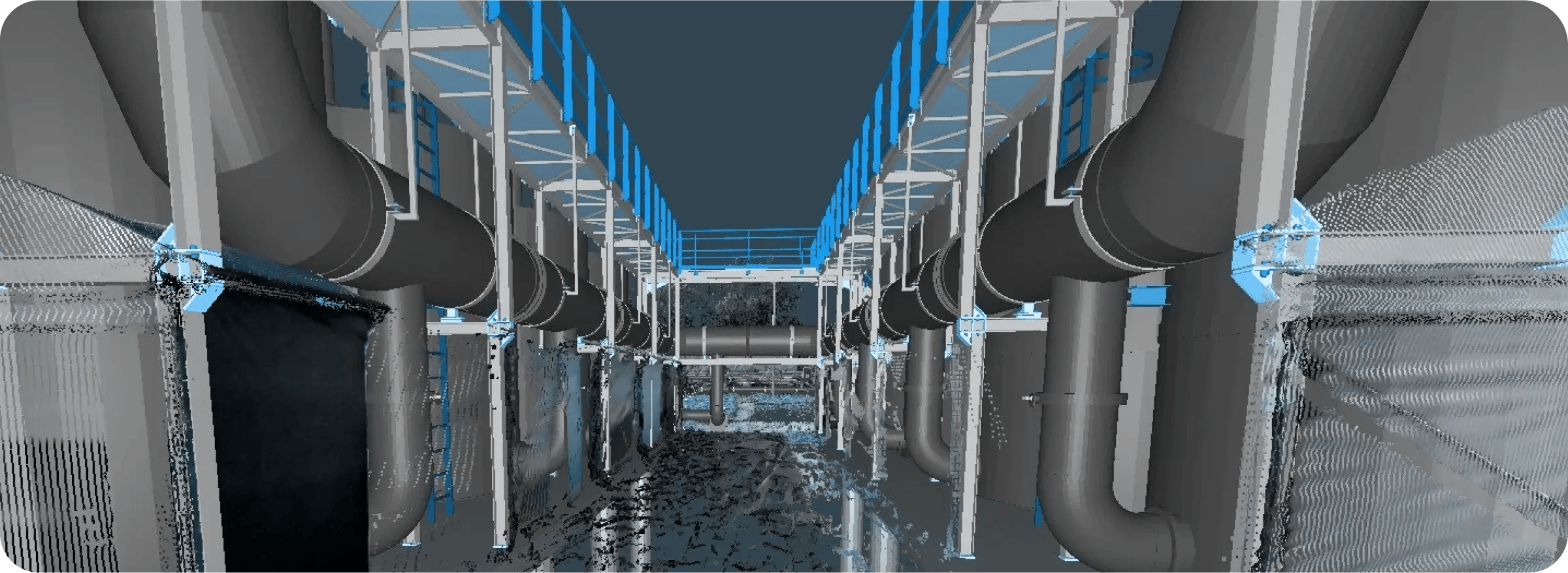
Design discrepancies and coordination failures can lead to costly rework once construction or installation begins. Cintoo enables teams to compare models directly against current reality capture data to identify clashes, spatial conflicts, and design deviations before they impact schedules or budgets. Integrated issue tracking, annotations, and model-to-scan comparison workflows help engineering and construction teams coordinate more effectively across complex projects.
Validate work, inspections, and site conditions with confidence
Manual inspections and fragmented documentation make quality assurance and compliance difficult to manage across large projects. Cintoo provides teams with a centralized environment to inspect, measure, annotate, and verify site conditions using accurate reality capture data. By connecting scans, BIM models, P&IDs, and project metadata, organizations can streamline audits, improve reporting accuracy, and maintain a trusted visual record of project conditions.
Create connected digital environments for asset visibility and operations
Operational teams need accurate, up-to-date visibility into facilities, infrastructure, and equipment throughout the asset lifecycle. Cintoo connects reality capture data with asset metadata, engineering systems, and digital twin workflows to improve asset tracking, maintenance planning, and operational awareness. Teams can tag assets directly within scans, monitor changes over time, and access site conditions remotely from anywhere.
Collaborate across teams, sites, and stakeholders without being onsite
Travel limitations, fragmented communication, and inaccessible site data slow decision-making across distributed projects. Cintoo enables teams to remotely access, review, and collaborate on high-fidelity reality capture data directly in the browser. With annotations, issue assignment, and unlimited project collaboration, teams can coordinate more efficiently while reducing travel requirements and accelerating project workflows.
Improve retrofit planning using accurate existing site conditions
Brownfield and retrofit projects depend on understanding complex existing environments where outdated documentation and unknown conditions create significant project risk. Cintoo enables teams to capture, stream, and analyze high-resolution reality capture data to improve planning accuracy and reduce installation conflicts. By comparing scans to models, validating designs, and connecting P&IDs and metadata directly to site conditions, teams can make more informed decisions before work begins.
5 Scans
Trimble Scanners
10M - 70M Points Per Scan
28 Scans
Leica BLK360 Scanner
13M Points Per Scan
Revit BIM Model
56 Scans
Leica, Faro, Z+F Scanners
10M-40M Points Per Scan
16 Scans
Faro Scanners
40M Points Per Scan
Cintoo provides a complete collaborative platform so our clients can independently manage their own projects and the people working on them via a simple web browser.
Cintoo enables us to properly leverage our point cloud data, with multiple ways in which we can share it with project stakeholders.
The integration we had with platforms like BIM Track meant we could identify issues in Cintoo, push those issues into BIM Track directly, and assign those issues to trade partners. It streamlined the whole process for us to a point where we achieved 98% accuracy in our design implementation.