Built for scale

Architecture, Engineering, Construction and Commercial Owners

Turn reality capture data into connected workflows across the entire asset lifecycle - design, build, operate and maintain. 

Align Teams, Accelerate Decisions and Reduce Rework

AECO teams need accurate, accessible site data to keep complex projects aligned from design through construction and handover. Cintoo helps architecture, engineering, construction, and owner teams transform reality capture data into shared project environments that improve coordination, reduce rework, and speed up decision-making across the project lifecycle.
check

Stream and visualize massive reality capture datasets directly in the browser and share with all stakeholders, including owners 

check

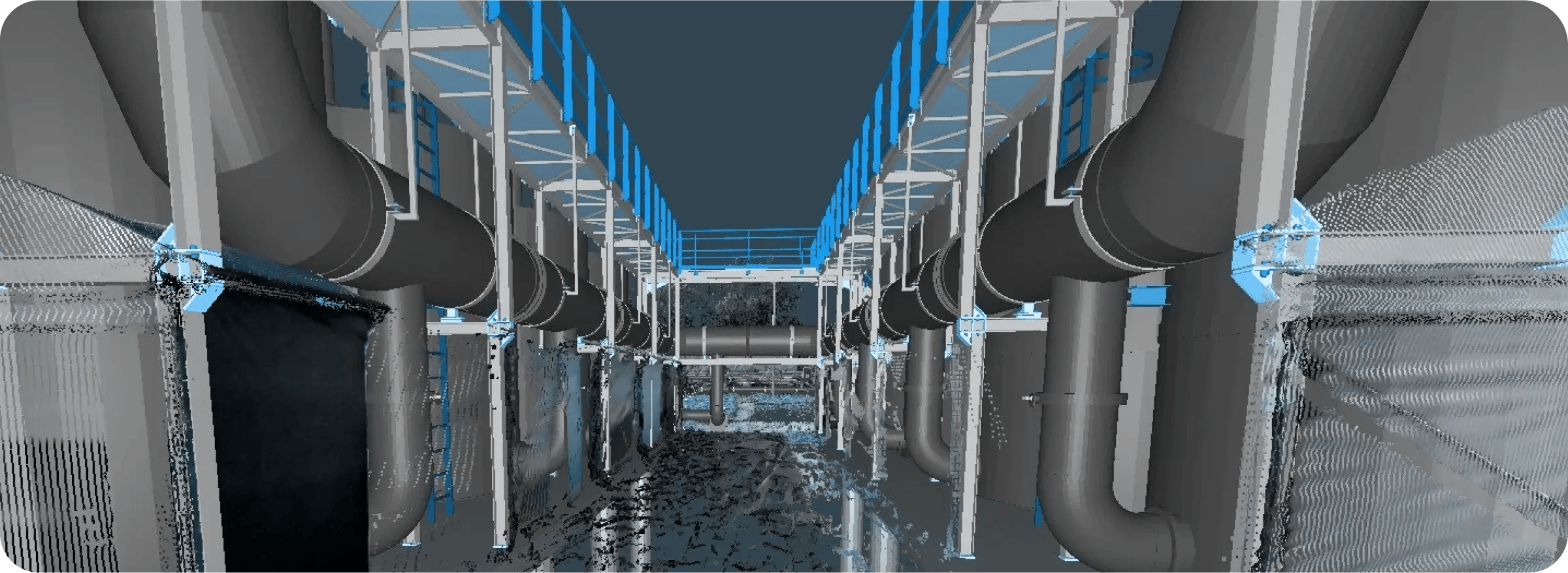
Compare BIM and CAD models against as-built site conditions to validate design intent. 

check

Detect clashes, deviations, and coordination issues earlier in the project lifecycle

check

Add annotations, measurements, and issue tracking directly within 3D site context

check

Support remote collaboration across distributed project teams and stakeholders

check

Integrate reality data into BIM, VDC, Autodesk Forma, Procore, and Revit workflows

Cintoo provides a complete collaborative platform so our clients can independently manage their own projects and the people working on them via a simple web browser.

Ben Bennett
Managing Director, Luminous Group

Cintoo enables us to properly leverage our point cloud data, with multiple ways in which we can share it with project stakeholders.

Kevin Grover
Geospatial Technology Leader, Stantec

The integration we had with platforms like BIM Track meant we could identify issues in Cintoo, push those issues into BIM Track directly, and assign those issues to trade partners. It streamlined the whole process for us to a point where we achieved 98% accuracy in our design implementation.

Jonathan Evans
VDC Manager, Turner Construction
luminous-xs
stantec
turner

Architecture & Planning

Firms face pressure to deliver projects faster while coordinating growing data volumes across distributed teams. Reality capture workflows improve planning but many teams still struggle with outdated site documentation and hard-to-share point cloud files.

Cintoo helps teams centralize laser scans, point clouds, BIM models, and CAD data into browser-based collaborative environments that improve site understanding, scan-to-BIM coordination, and real-time design validation.

Group 15949 (5)
Group 15949 (5)

Civil Engineering

Governments and infrastructure owners are investing heavily in modernization, increasing demand for accurate as-built documentation and scalable digital workflows. However, teams often struggle to manage and share massive point cloud datasets and validate evolving site conditions over long timelines.

With Cintoo, teams can stream large-scale 3D scan data directly in a browser, compare BIM/CAD models against existing conditions, and improve coordination across infrastructure and capital projects - accelerating issue resolution and reducing field risk.

Group 15950 (1)
Group 15950 (1)

Construction

Construction projects generate enormous amounts of data, yet delayed issue detection, fragmented communication, and costly rework remain common challenges. Laser scanning is becoming essential for improving as-built accuracy and reducing human error, while cutting survey time by up to 50%.

Contractors, VDC teams, and construction managers use Cintoo to transform reality capture data into a shared source of truth. Teams can compare BIM models with real-world conditions, annotate issues in 3D, and securely share high-fidelity scan data in the cloud, reducing rework and accelerating delivery.

Group 15951 (2)
Group 15951 (2)

Commercial Real Estate

As hybrid work, tenant expectations, and sustainability initiatives reshape the built environment, CRE teams need more accurate visibility into building conditions and asset performance. Yet reality capture data often remains siloed and hard to share.

Cintoo lets organizations create connected digital representations of facilities using high-fidelity reality capture data integrated with BIM models, operational documentation, and asset information, all accessed via a browser. Improve renovation planning, validate as-built conditions, and collaborate with remote stakeholders.

Group 15952 (2)
Group 15952 (2)
Industrial Asset Owners

Do you operate complex industrial facilities?

Utilities

Establish a connected digital twin environment to improve maintenance, remote collaboration, and infrastructure visibility.


utilities-2

Food & Beverage

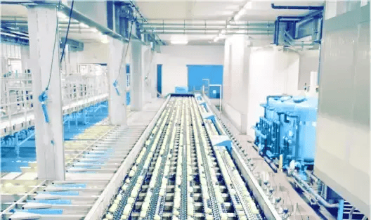
Create a connected digital environment for facility upgrades, installation validation, and maintenance.


iunlcscjedaicohpca7e

Aviation/Aerospace

Centralize laser scans, BIM models, and asset information to support facility modernization, retrofit planning and maintenance.
aviation-1

Redefine Reality Today

bottom-banner-wide