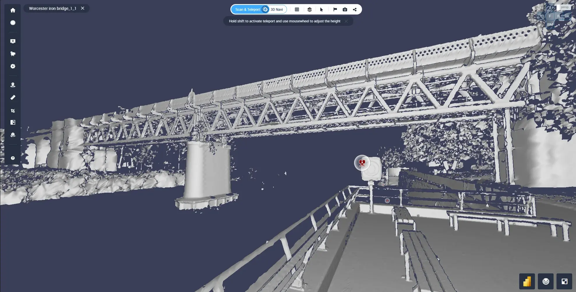
A scan-based Digital twins is a digital twin whose geometry comes from laser scans of an asset as it exists today, rather than from design drawings or CAD models. Laser scanning measures every pipe, beam and piece of equipment as a point cloud, which is then processed, linked to asset data and shared with the teams who run the facility. Because it starts from what's actually built, a scan-based twin includes the modifications, deviations and undocumented changes that design-based models miss.
Interest in digital twins is no longer the issue. McKinsey reports that 70 percent of C-suite technology executives at large enterprises are already exploring and investing in them. The harder question is where the twin's geometry comes from, and whether people can trust it. On brownfield sites, the drawings rarely match reality, and a twin built on them inherits every error.
This guide covers how a laser-scan twin is built, step by step, the decisions that shape its cost and usefulness, and what it looks like at a real operator.
New to digital twins? Start with Digital Twin Basics: What You Need to Know, which explains what a digital twin is, how definitions differ by industry, and how IoT data keeps a twin live. This article picks up where that one stops: how to build the twin's foundation from laser scan data.
Scan-Based vs Design-Based Digital Twins
Most digital twins start from one of two sources: design data (CAD or BIM models created before or during construction) or reality capture data (laser scans of the asset as it stands). The difference matters most on existing facilities, where decades of modifications rarely make it back into the drawings.
| |
Design-based twin |
Scan-based twin |
| Source of geometry |
CAD/BIM design models |
Laser scans of the asset as it is |
| Reflects |
What was designed |
What was actually built and modified |
| Best for |
New builds, design simulation |
Brownfield sites, retrofits, operations and maintenance |
| Main risk |
Drift from reality over time |
Needs rescanning when the site changes |
| How it's updated |
Manual model edits |
New scans compared against previous ones |
In practice, the two are often combined: the scan provides the trusted as-built reference, and design models are overlaid on it to check deviations or plan changes.
How to Build a Digital Twin from Laser Scans: The 6-Step Workflow
Creating a digital twin from laser scans typically follows a structured workflow:
1. Capture the site
Terrestrial, mobile or drone laser scanning records the facility as millions to billions of measured points. Capture method depends on the site: terrestrial scanners for maximum accuracy in dense areas like pipe racks, mobile scanners for speed across large floors, drones for roofs, tanks and outdoor structures. 360° imagery can be added for visual context.
2. Register and clean the scans
Individual scans are aligned into one coordinate system, often tied to survey control, and noise such as people or passing vehicles is removed. Registration quality sets the accuracy ceiling for everything that follows.
3. Turn the point cloud into something people can use
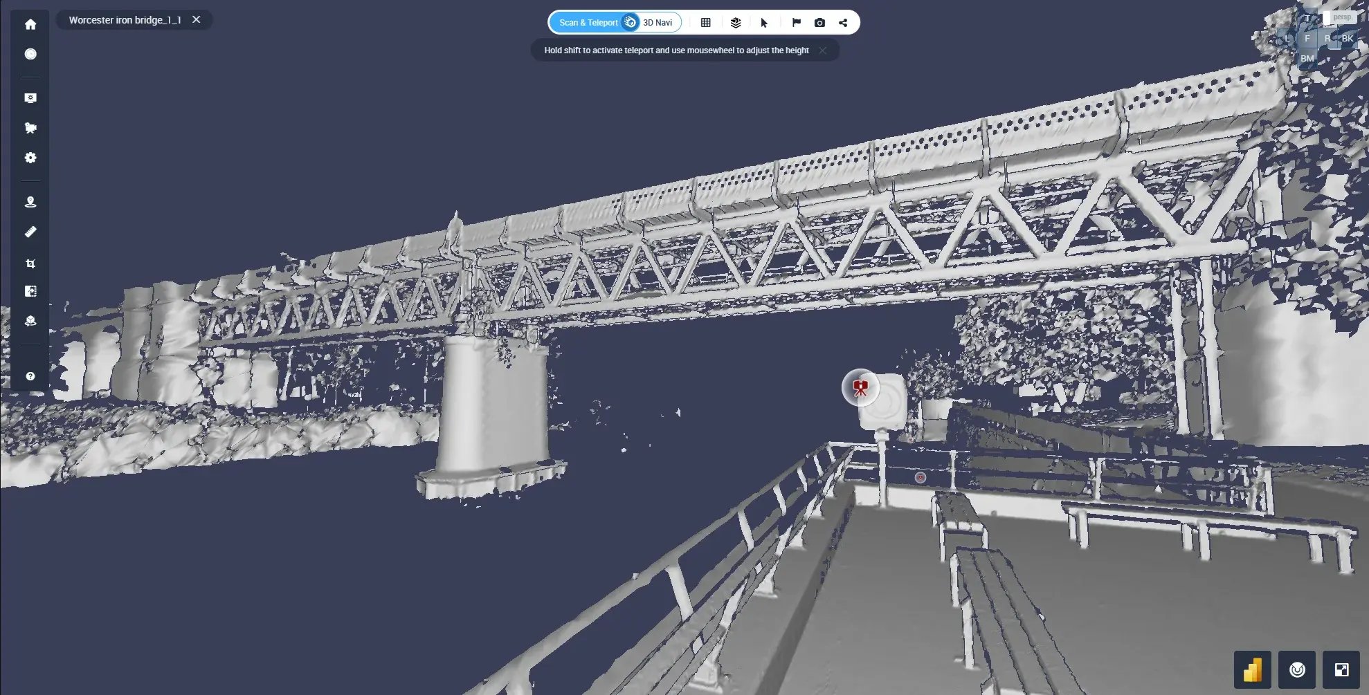
Raw point clouds are heavy and need specialist desktop software. In Cintoo, point clouds are converted with TurboMesh™ into lightweight, high-resolution 3D meshes that preserve scan detail and stream in a web browser, so anyone on the project can open them without installing anything.
4. Model only what you need
Not every twin needs a full BIM model. Many teams keep the mesh as the visual reference and model specific systems or areas as projects require them, which spreads the cost and avoids modeling parts of the site nobody will use.
5. Enrich the twin with asset data
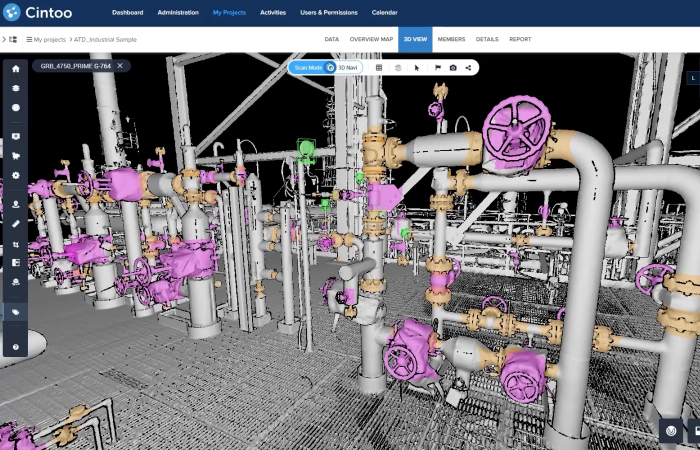
Equipment in the scan is tagged and linked to its asset ID, documentation, maintenance history or sensor data. This is the step that turns a 3D picture into a twin people can query.
6. Connect it to your systems
The twin is connected to the tools teams already use: BIM coordination platforms, GIS, asset management or analytics systems. Cintoo provides APIs, SDKs and integrations such as its Esri ArcGIS widget for this.
When the site changes, a new scan is captured and compared against the previous one, which keeps the twin current without rebuilding it.
Five Decisions That Shape Your Scan-Based Twin
The workflow is the same everywhere, but these choices decide what your twin costs and how useful it is.
-
Accuracy. Define the accuracy you actually need per area. Fabrication and tie-ins need tighter tolerances than space planning, and over-specifying the whole site adds scanning time.
-
Coverage. Prioritize the areas with the most change, risk or maintenance activity. A phased rollout, facility by facility, is easier to fund and prove.
-
Modeling depth. Decide where a mesh is enough and where you need BIM objects. Modeling everything up front is the most common way twin projects overrun.
-
Update frequency. Plan when you'll rescan: after turnarounds, major modifications, or on a fixed cycle. A twin that isn't refreshed slowly turns back into an outdated drawing.
-
Access. List everyone who needs the twin, including contractors and vendors. If people need specialist software or powerful hardware to open it, adoption stalls.
What Teams Use Scan-Based Twins For
| Industry |
Typical use of a scan-based twin |
| AEC |
Validate as-built conditions, compare scans against BIM to catch deviations, track construction progress |
| Energy |
Verify equipment and piping remotely before replacements, plan maintenance and turnarounds, reduce site visits to hazardous areas |
| Manufacturing |
Plan line changes and equipment retrofits in existing plants, check fit before installation, coordinate engineering teams and contractors |
Customer Example: How BP Uses Laser-Scan Twins to Visit Sites Virtually
BP has used Cintoo for several years to manage laser scan data across terminal and pipeline facilities. The goal was to keep facility records accurate and let engineers answer questions without traveling to site.
"At the beginning of this journey, I never imagined it would be possible to enable our organization to virtually visit a site," says Jeff Judycki, Documents and Records Team Lead at BP.
Three results stand out:
- Up-to-date records. By coordinating as-built laser scanning with its vendors, BP eliminated a backlog of outdated facility submittals and now keeps pace with new ones.
- Verified replacements before work starts. In one case, BP saved $10,000 on an in-line flow meter replacement by checking the existing equipment's dimensions in the scan and confirming the new meter would fit.
- A phased rollout. Rather than scanning everything at once, BP prioritized key facilities and gave engineers and third-party vendors access to the same scan data in the browser.

Why Scan Data Makes a Better Foundation for AI and Analytics
AI and analytics are only as reliable as the data behind them. A scan-based twin gives them measured geometry instead of assumptions, which matters for tasks like:
- Change detection, by comparing scans captured at different dates
- Asset detection and inventory, by identifying equipment in the point cloud
- Predictive maintenance, by linking condition data to the exact asset location
- Immersive training and reviews in AR/VR, using the same scan data
The same scan captured today can support use cases your team hasn't planned yet, which makes the initial capture a long-term asset rather than a one-off deliverable.
FAQ about Digital Twins from Laser Scans: How to Build a Reality-Based Twin
What is the difference between a laser scan and a digital twin?
A laser scan is raw spatial data: a point cloud measuring the surfaces of a site. A digital twin uses that scan as its geometric foundation, then adds asset information, documentation and connections to operational systems, so teams can query and manage the asset, not just look at it.
How accurate is a digital twin built from laser scans?
Accuracy depends mainly on the scanner and the quality of registration. Terrestrial laser scanners can reach millimeter-level accuracy, mobile scanners trade some accuracy for speed. Converting scans into a mesh in Cintoo preserves the detail of the original point cloud, so the twin keeps the accuracy of the capture.
How much does it cost to build a digital twin from laser scans?
Cost depends on four things: the area to scan, the accuracy required, how much of the site needs to be modeled in BIM, and how often you rescan. Starting with a mesh-based twin of priority areas and modeling only what projects require keeps the initial investment lower than a full model of the whole site.
How long does it take to create a scan-based digital twin?
Scanning a facility typically takes days rather than the weeks needed for manual surveys. Processing and meshing in the cloud can follow shortly after upload. Enrichment with asset data is usually phased over time, starting with critical equipment.
Do I need BIM to have a digital twin?
No. Many teams start with a scan-based mesh as their twin and add BIM models only where they're needed for design, fabrication or coordination. BIM and scans can be overlaid in the same environment to compare design with reality.