Architecture49 and HOK Architects choose Cintoo Cloud for point cloud data collaboration
Two guests at our recent Spar3D webinar were Tim Barnes from Architecture49 and David Avella from HOK Architects, who have teamed up on a large historical renovation project, set to span about a decade.
Architecture49, based in Canada, specializes in architecture, interior design and landscape services and is focused on protecting and preserving the natural environment. HOK Architecture is a global design, architecture, engineering and planning firm, also passionate about sustainability.
With multiple terabytes of point cloud data generated from the project and the need for collaboration on this data, the project team turned to Cintoo.
“There was scepticism around laser scanning and point clouds when this was all new but now it’s a common place workflow. It means we can accurately capture the building in its totality – the measurements, visual data and geolocations. Plus, the speed of capture is quick, when compared to handheld measurements, and now using Cintoo we can also get the data out to people quickly,” said Tim.
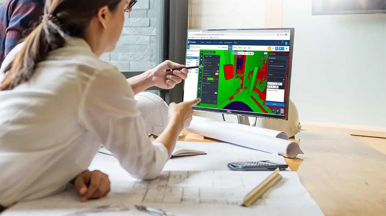
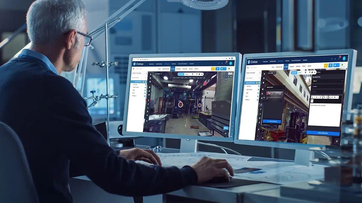
The challenges the project team faced at the outset of the project were how to share multiple terabytes of point cloud data and securely store and protect these files. Other software options required individual uploads and separate licences which the team wanted to avoid. It was also crucial that the data could be shared and worked on collaboratively and key to this was the ability to visualize the data.
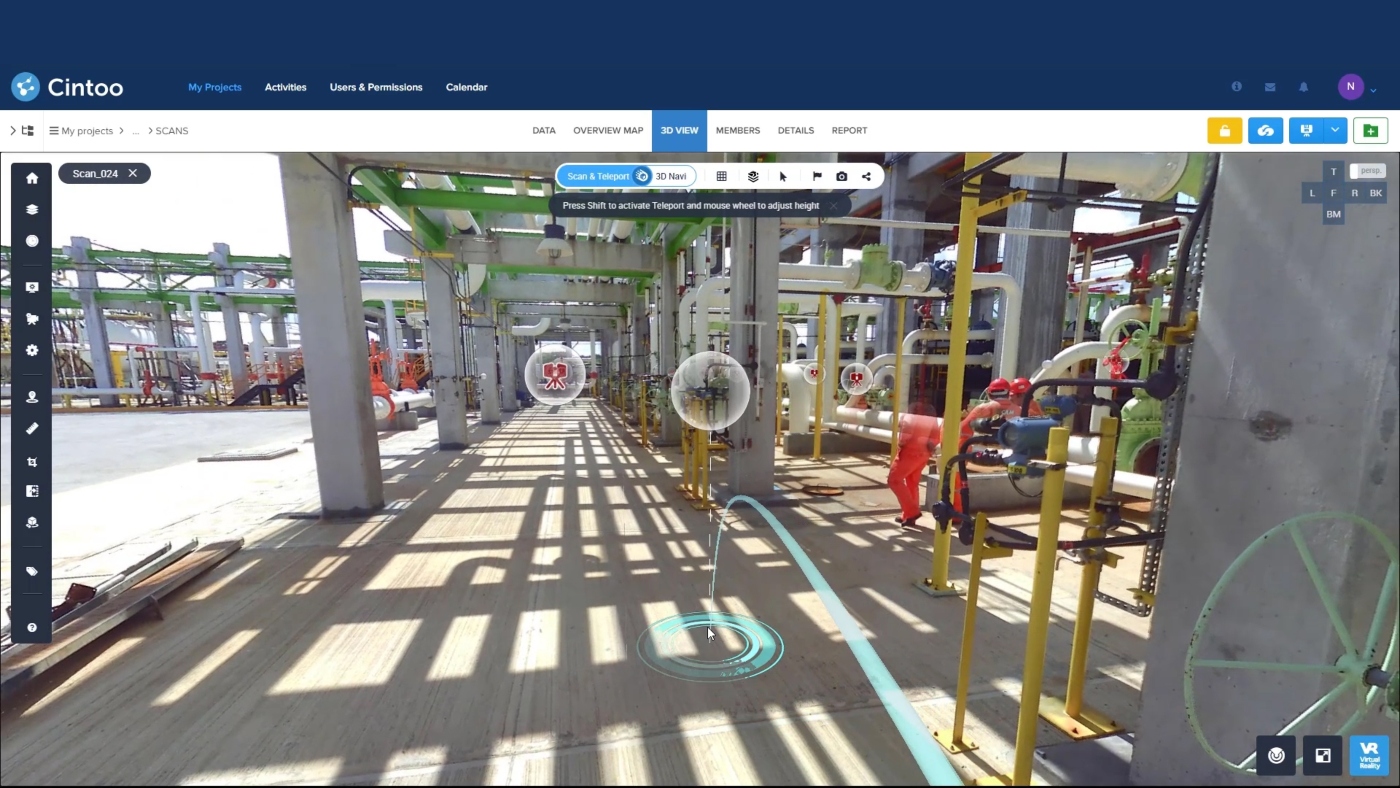
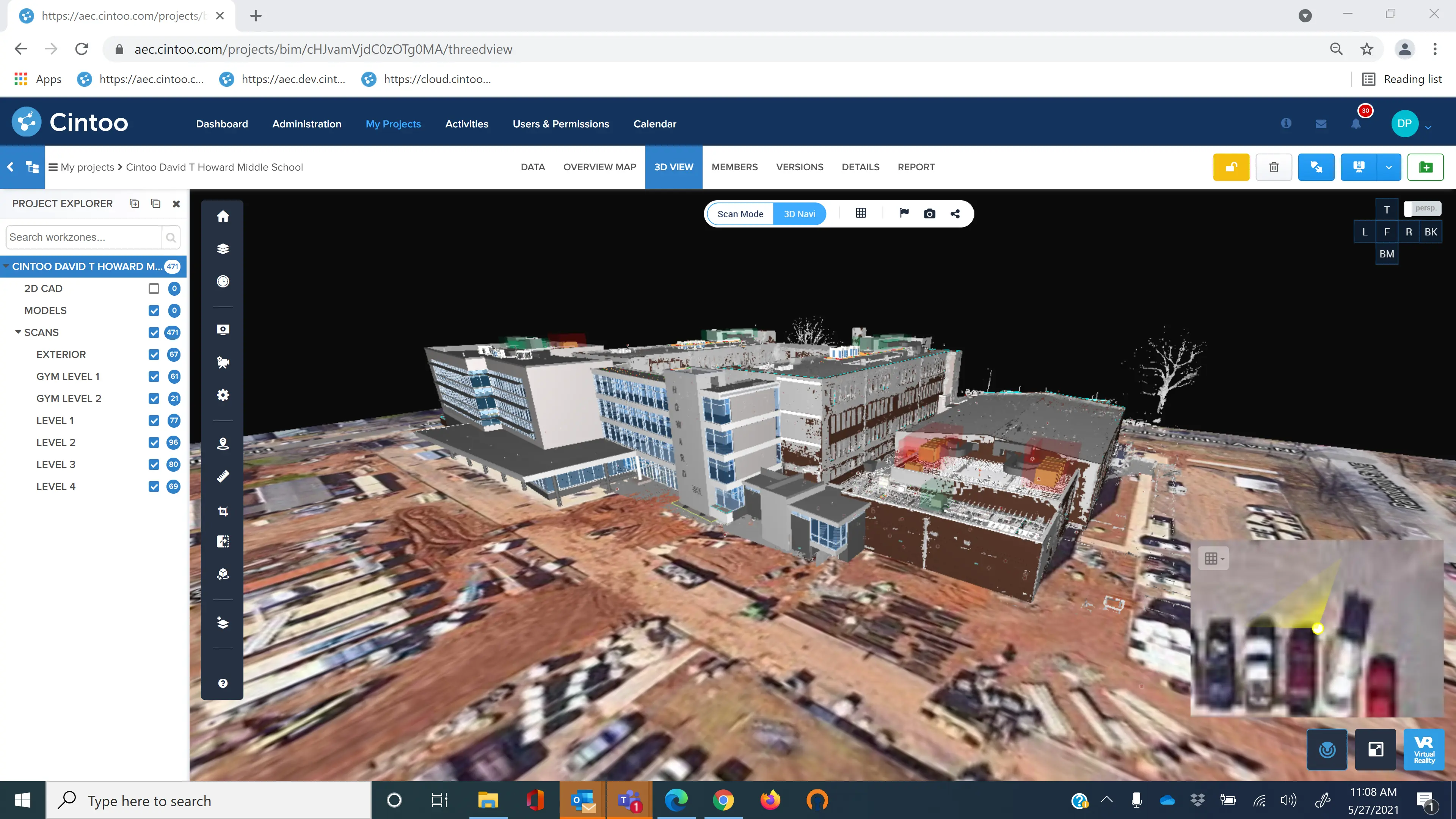
Using Cintoo Cloud, all project team members have immediate access to their data and can view it at the same time. Between 250 and 300 people are now regularly using the platform to work on this project.
Furthermore, everyone can communicate on their data more easily, commenting back and forth, sharing measurements, directing someone to a specific part of the point cloud or the building. They also plan to integrate the platform with BIM Track so they can export any issues.
Another benefit for the team is the ability to track the project lifecycle, storing the existing as-built condition. When they arrive at the demolition phase, they’ll be able to go back and scan the same area again and have a clear timeline of the construction process.
Unified mesh creation is also important for this project so that the data files can be used in multiple platforms. Creating meshes from their point clouds enables integration with Unreal Engine and Enscape Rhino.
Data storage is a further reason Cintoo was the ideal solution for this project, allowing the team to host their data in Canada and consequently speeding up access to it.
“Cintoo has been an integral part of this project and will continue to be going forward. We’ve been able to manage and share terabytes of data quickly and simply and we have many more to come,” said Tim.
Watch our demos (www.cintoo.com/demos) to see how you can leverage your point cloud data in the cloud or email sales@cintoo.com to sign-up to our platform today.