


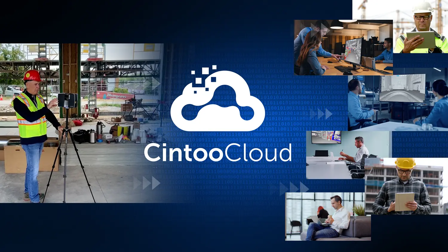

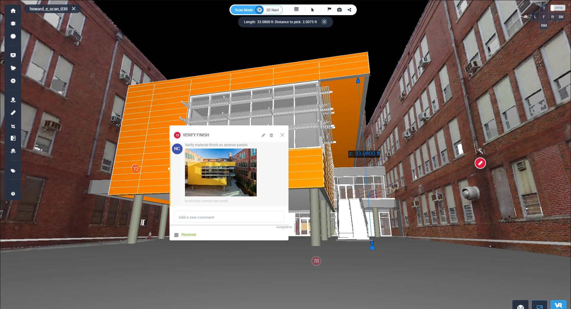

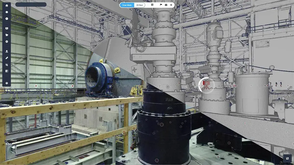

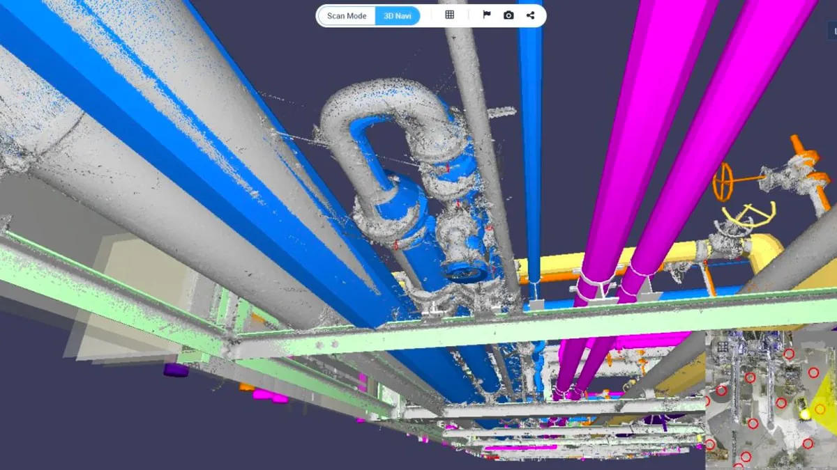
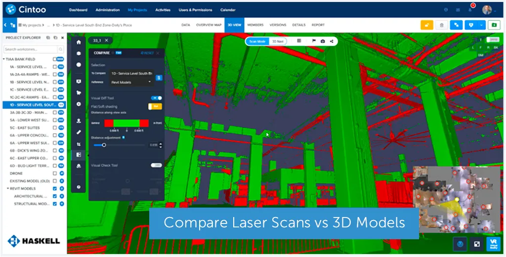

 Learn how two leading energy firms independently discovered how to optimize their Digital Twin programs by employing the full range of capabilities in Cintoo Cloud. Read how these firms were able to realize the full return on investment for their past, current and future projects.
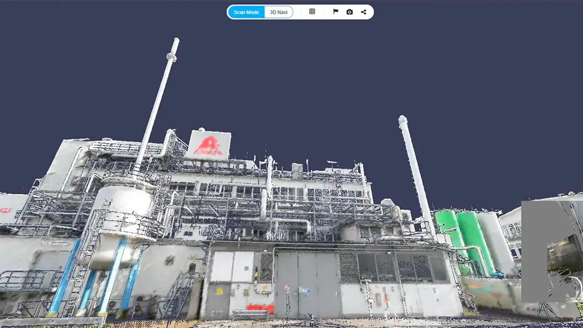