How to Share 3D Scans
With the usage of 3D scanning becoming a primary instrument in the Architecture, Engineering and Construction toolbelt, the challenge has become how to share these large data files. Unfortunately, many users have resulted to shipping hard drives of these mega-files to their construction partners, losing control of managing and tracking who gets what and creating project silos. In this post, we will discuss how 3D Scanning Applications, such as Cintoo Cloud, easily and cost effectively share your 3D reality capture files with anyone, anywhere without affecting the detail quality of your scans.
The 3D Scanning Challenge
As mentioned above, the current state of 3D scanning has benefited from the availability of high-quality Lidar scanners that are becoming more affordable and easier to use. From tripod-based scanners to backpack-mounted or handheld mobile devices, as well as drone-based scanners, Lidar scanning devices are now readily available to suit any need and function. These 3D scanners efficiently measure many points of the external surfaces of the objects and/or buildings around them. These are saved as a set of 3D data points, referred to as point clouds. As you can imagine, this database which contains tens of thousands X, Y, and Z geometric coordinates for any object’s surface become gigantic files that are not easily shared.
The issue is what to do with the large amount of data?
How do I share this 3D scanned data with the rest of my construction and project team, especially since many team members are geographically dispersed within the office space, their work-from-home offices, and the construction site itself?
How to share 3D scans – Cintoo Cloud
By taking advantage of Cintoo Cloud, 3D scans can now be easily uploaded to a secure project location on the cloud. To achieve this task, Cintoo Cloud provides for automatic point cloud to 3D mesh transformation prior to uploading to the platform. Cintoo Cloud uses patented file compression algorithms to allow for quick and accurate uploading of your mesh to the Cintoo solution, with no compromise in accuracy. In addition, CAD and/or BIM models can also be conveniently uploaded if needed. These uploaded scans are then available to view on any popular web browser by your authorized team members in any location. Users organize their scans and associated CAD or BIM models into “Work Zones” where they give permission to specific team members to access and collaborate including the incorporation of work notes and detailed comments.
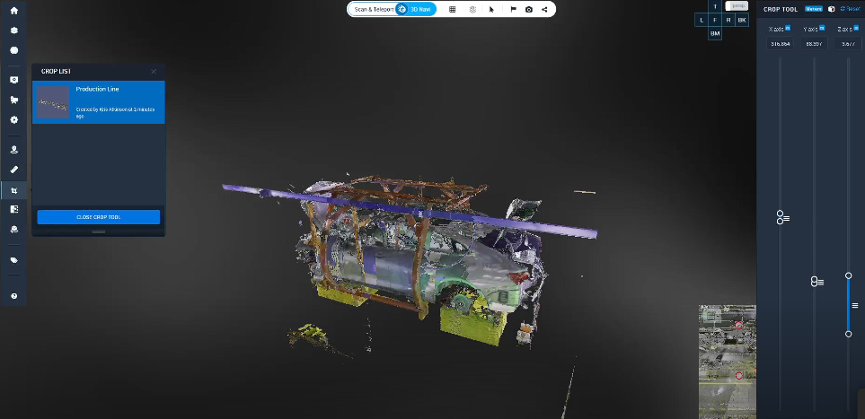
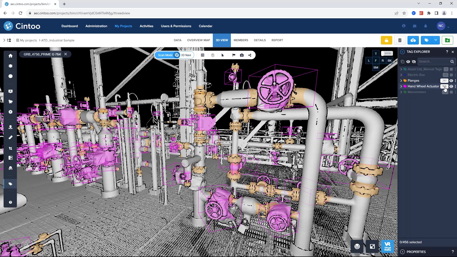
Along with integrated cropping tools, the Cintoo solution provides team members the ability to annotate notes, insert private notes and/or issues as well as add labels, text, photos, videos, URLs and PDFs to their annotations. This essential project management capability, including convenient listing of project tasks, unifies your team regardless of location and time zones. Additional project management needs such as generating reports and being able to download your scans in point cloud format or as unified 3D meshes to most CAD software are conveniently accessed within the intuitive dashboard. This includes the ability to overlay BIM and/or CAD models to your 3D mesh scans for visual analysis using the integrated visual difference and check tools and push any issues to platforms such as Autodesk, BIM360, BIM Track and Procore.
Today’s Reality Capture framework offers many efficient and effective tools but without the ability to easily share and collaborate on your 3D scans, the benefits of this technology are curtailed. By employing leading-edge solutions, such as Cintoo Cloud, where all users can have access from anywhere at any time, Reality Capture is now an optimal and indispensable solution that is cost effective and readily available.
For more information on how Cintoo Cloud optimizes 3D laser scanning for AEC and Digital Twins including project management, click here now.


