A Cloud Platform for 3D Data Visualization in Energy
April 22, 2025
3D scanning technology is transforming industries by enabling the creation of highly detailed digital representations of real-world objects and environments. Whether for construction, manufacturing, or energy projects, 3D scan data plays a crucial role in visualization, analysis, asset management, maintenance, model design, and decision-making. However, the challenge lies in efficiently importing and managing different types of 3D scan data.
This article explores the various types of 3D scan data—including structured, unstructured, drone-based, and 360-degree image scans—and provides an in-depth technical overview of how to import them seamlessly. Understanding 3D scan data import is essential for improving workflows, ensuring interoperability, and maximizing the potential of digital twin technology and Building Information Modeling (BIM) systems.
Structured Scan Data
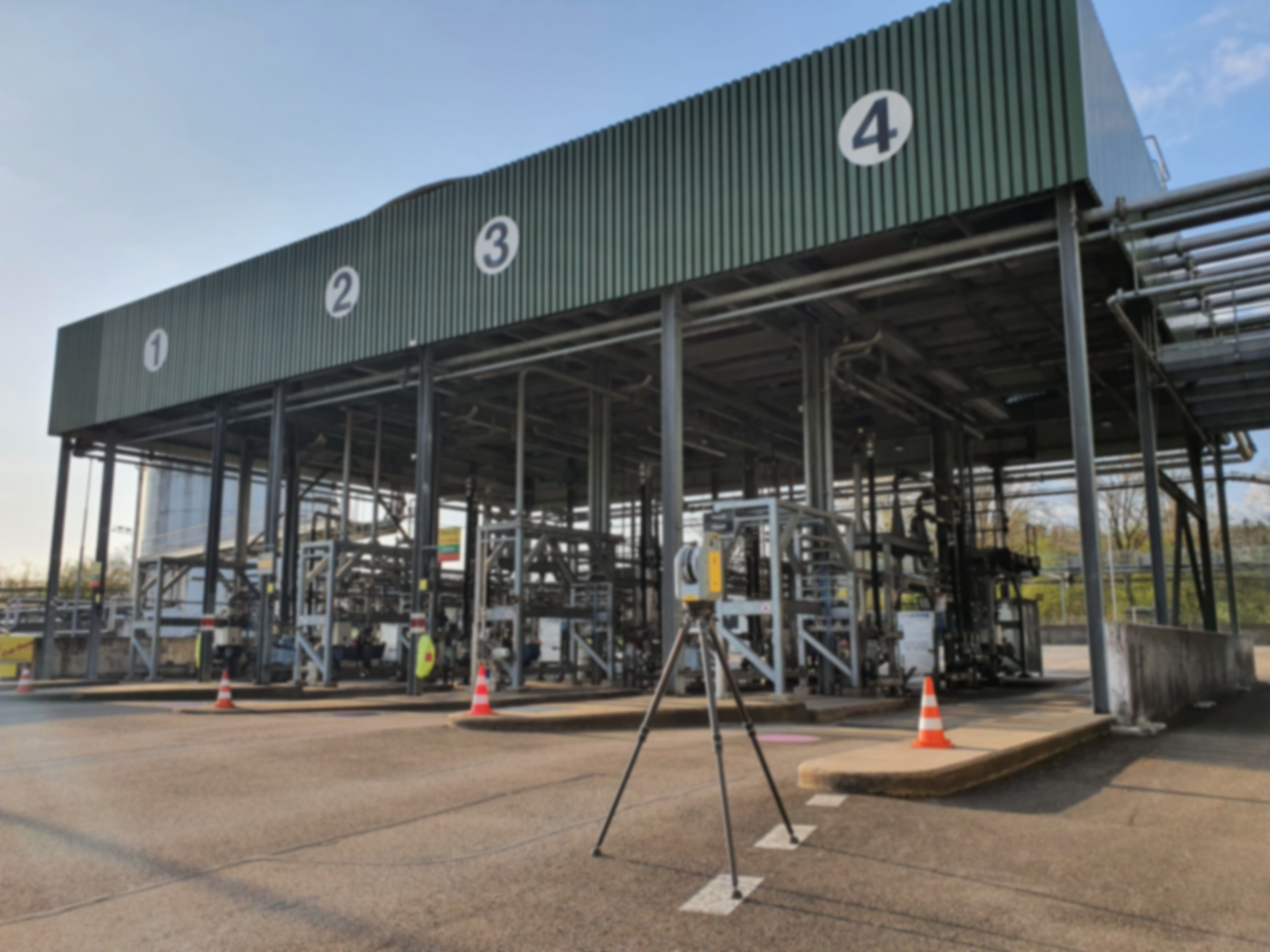
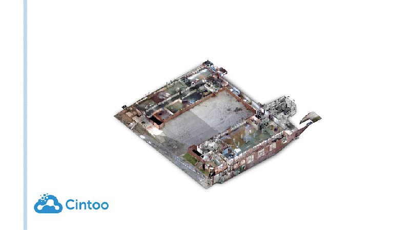
Structured scan data originates from terrestrial laser scanners or LiDAR-based systems. These scanners capture highly accurate point cloud data using structured light or laser pulses. The resulting point clouds are dense and typically organized into precise spatial grids with each point carrying XYZ coordinates, intensity values, and sometimes RGB information. Common structured scan formats include:

Unstructured Scan Data
Unstructured scan data is commonly generated from mobile scanning solutions, such as handheld or wearable devices. Unlike structured scans, this data lacks a predefined spatial organization and often requires post-processing for noise reduction and feature alignment. Common formats include:
Drone Scan Data
Drones equipped with LiDAR or photogrammetry cameras collect large-scale aerial 3D data. This data is typically used in terrain modeling, construction monitoring, and large-area mapping. Drone-based scan data can be structured (LiDAR) or unstructured (photogrammetry-derived point clouds) and often needs processing steps like georeferencing, stitching, and classification. Common formats include:
360-Degree Image Data
360-degree images capture immersive views of an environment, often used in virtual walkthroughs, inspections, and documentation. While not point cloud data, they complement 3D scans by providing contextual visuals. These images are stored in:

Importing Structured Scans
The import process for structured scan data typically involves:
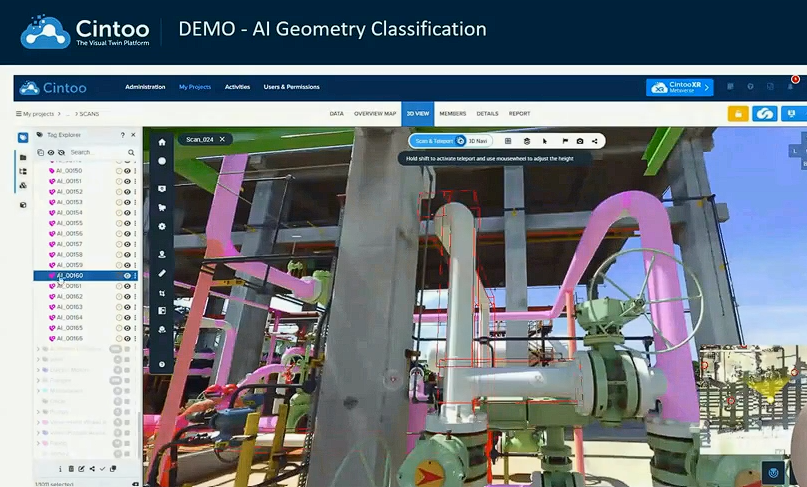
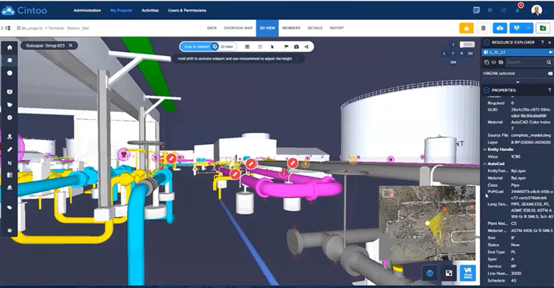
Pre-processing: This includes noise filtering, outlier removal, and aligning multiple scans to generate a unified dataset. In Cintoo, classify your work zones and organize your Cintoo projects.
Registration: Structured scans often require precise alignment using control points or automated feature matching algorithms.
Importing Unstructured Scans
Unstructured scan data requires additional processing steps:
AI-Based Feature Recognition: Many modern platforms, including AI-enhanced solutions, use classification algorithms to separate objects from background noise.
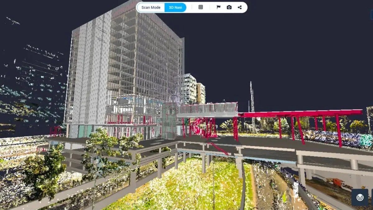
Cintoo has just released its Unified Point Cloud management feature, meaning you and your team can seamlessly upload unstructured scan data. Unlike traditional point clouds that remain in their segmented, individual scan states, a unified point clouds need to be restructured in a typical workflow to provide the full range of information from the scan data. Typically, unified point clouds lack the structure so it's impossible to leverage all information from the project.
Cintoo now offers more ways to use structured point clouds by restructuring the unified point cloud at the resolution of the source file. By compressing it using Cintoo’s point-cloud-to-mesh capabilities, the structure is maintained, and the data becomes actionable. Learn more about unified point clouds here, or to start importing in Cintoo today, visit our Knowledgebase.
Importing Drone Data
Drone scan data involves multiple technical considerations:
Uploading LiDAR or Photogrammetry Data is made simple from every type of drone scanner.Mesh Generation and Texturing: Photogrammetry-derived datasets are converted into textured 3D meshes for easier visualization. Cintoo’s TurboMesh engine seamlessly streams all point cloud data to 3D mesh format, with no loss of accuracy.

Importing 360-Degree Images
360-degree images follow a different workflow:
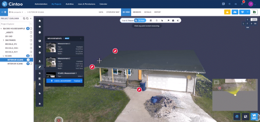
Uploading to a Visualization PlatformSeamless data import reduces manual processing time and enhances productivity, allowing engineers, surveyors, and project managers to focus on analysis rather than data handling. With all-in-one platforms like Cintoo, project teams can eliminate the use of hard drives to transfer data. Instead, web-based applications stream high-density point clouds, allowing for unlimited scan uploads.
Enhanced Interoperability
Many industries rely on a mix of software tools. Efficient import workflows ensure compatibility between platforms such as Autodesk, Bentley, ESRI, and Navvis, to name a few. Cintoo allows for the intake of all formats and integration tools given its agnosticism.
Better Visualization and Analysis
High-quality scan data improves accuracy in measurements, defect detection, and predictive maintenance workflows.
Scalability for Large-Scale Projects
Importing drone scan data allows rapid surveying of vast areas, which is essential for infrastructure planning, forestry, huge manufacturing sites, and energy sector applications.
Industry Applications
Efficient 3D scan data import is crucial for maximizing the value of scanned environments in various industries. By streamlining the import process for structured, unstructured, drone, and 360-degree image data, professionals can leverage digital twins, BIM, and advanced visualization tools more effectively. With optimized import solutions, organizations can improve operational efficiency, enhance collaboration, and make more informed decisions across multiple disciplines, enhancing the levell of accuracy and precision, while broadening the scope of laser scan formats for a better solution overall.