How to Optimize Your Reality Capture Software
The use of reality capture software is revolutionizing industries such as architecture, construction, gaming, and cultural heritage preservation. With its ability to create highly accurate 3D models and detailed digital representations, reality capture is an indispensable tool for collecting data. However, optimizing its use can be a complex process. Here, we’ll explore the steps and best practices to enhance the performance of your reality capture software, streamline workflows, and maximize the quality of your 3D models.

Understanding Reality Capture Software
Reality capture software encompasses tools and applications designed to process and analyze data collected from various sources, such as photogrammetry, laser scans, or reality scans. The primary goal is to create precise 3D models of physical spaces and objects. By combining data points from images, videos, and LiDAR, these tools deliver high-fidelity results, enabling professionals to work with reliable digital twins.
Optimizing your reality capture software involves more than just installation and usage. It requires strategic planning, robust data collection methods, and an understanding of your specific project needs. By refining these aspects, you’ll not only achieve better results but also save time and resources.
Let’s drill down into some steps around how you can better use reality capture software.
Key Steps to Optimize Reality Capture Software
- Plan Your Data Acquisition Strategy
The foundation of a successful 3D model lies in high-quality data. Whether using photogrammetry software or reality scans, planning your data acquisition process is critical.
Choose the right tools first. Select cameras, drones, or laser scanners suited to your project’s scale and complexity. High-resolution devices ensure detailed captures.
Next, plan your coverage. Ensure full coverage of the subject or area by mapping out your scanning trajectory or photographing positions. Overlap between images or scans is essential for accurate stitching. Data collected from coverage points will create a holistic picture of your project site.
Don’t forget to optimize lighting conditions. Proper lighting minimizes shadows and inconsistencies, improving the clarity and precision of your captures.
- Organize and Pre-Process Data
Since the tools used to collect reality capture data, like photogrammetry and LiDAR, require huge amounts of processing power, you’ll need to identify ways to store and process the data that doesn’t risk the loss of quality. Managing large datasets is a common challenge in reality capture, but when you can organize and pre-process the data efficiently, you can reduce processing times and improve results.
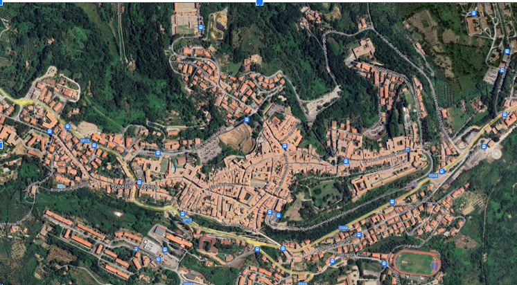
Organize your files properly and securely. Use a clear naming convention for images, scans, and projects to keep data accessible and manageable.
Reduce noise by filtering out unnecessary or redundant data points to streamline the dataset without losing critical details.
Evaluate metadata too. Verify that images and scans contain accurate metadata, such as GPS coordinates, which are crucial for alignment.
While these approaches outline feasible ways for harnessing any reality capture data, one of the best approaches you can take is finding a reality capture software that automates this work for you, improving visualization and speeding up delivery times.
- Leverage Software Settings
Most reality capture software offers customization options to enhance data processing. Familiarize yourself with these settings to achieve optimal performance:
Check any alignment settings. Adjust parameters for image alignment to handle varying levels of overlap and distortion. Depending on the project’s requirements, balance processing speed with output quality by tweaking resolution settings.
Optimizing your point clouds is key. For laser scans, refine the point cloud density to maintain detail without overloading your system. This ensures the best level of accuracy.
- Harness Photogrammetry Techniques
Photogrammetry software relies on overlapping images to generate 3D models. It is essential for point cloud data, generated from laser scans, to be merged with 3D models for the most accurate depictions. By mastering key techniques, you can maximize accuracy.
Maintain uniform angles between shots to improve the software’s ability to detect common points.
Another tip is to use calibrated lenses. Use calibrated cameras or apply lens correction to reduce distortion and ensure consistency. To georeferences, maintain control points for quick interpretations.
- Integrate Laser Scans and Photogrammetry
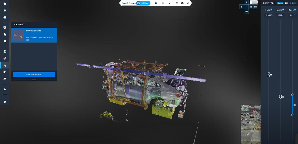
Combining laser scans with reality capture software offers the best of both worlds. While laser scans excel in capturing precise geometries, photogrammetry adds rich textures and colors. Optimize this integration by using software tools to merge datasets seamlessly, ensuring alignment between scans and images. For instance, Cintoo has their trademark TurboMesh engine that quickly aligns scans and models together for the most accurate and visual representation. With seamless tools for navigation, including their Teleport camera, you can move seamlessly to any data set point, regardless of laser scan setup locations.
In Cintoo, remove redundant data where laser scans and photogrammetry overlap, preserving only the best-quality points.
- Automate Where Possible
Modern reality capture software often includes automation features that simplify repetitive tasks and allow you to use toolsets that diversify what you do with your reality capture data.
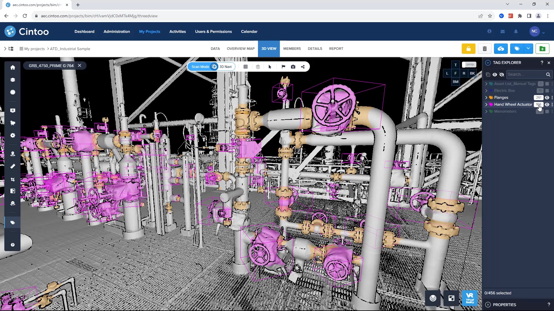
Automate the alignment and stitching of images or scans to save time. Intuitive and easy to use platforms, like Cintoo, perform this step at the first laser scan data set uploads. Create project templates with predefined settings for consistency across similar workflows, allowing you to remain contingent references to specific items in your point cloud data. Cintoo also offers new AI enhancements to power your workflows. AI-powered tools optimize feature recognition, blur people’s faces, identify tagged assets, clean up comparisons between the scan data and models, and more.
- Optimize Hardware Performance
Even the best reality capture software can’t perform optimally without the right hardware. Ensure your system is equipped to handle demanding tasks. Invest in a high-performance GPU for faster rendering and processing. Look for options that are web-based, like Cintoo which you can access over a browser and share links through to others. This allows you to upload any amount of data without concern that you might have to lug around hard drives forever. For large-scale projects, cloud-based solutions offer the best processing capabilities to offload hardware requirements and facilitate collaboration.
Maintaining and Enhancing Your 3D Models
Once your 3D model is complete, maintaining its quality and optimizing its usability are essential.
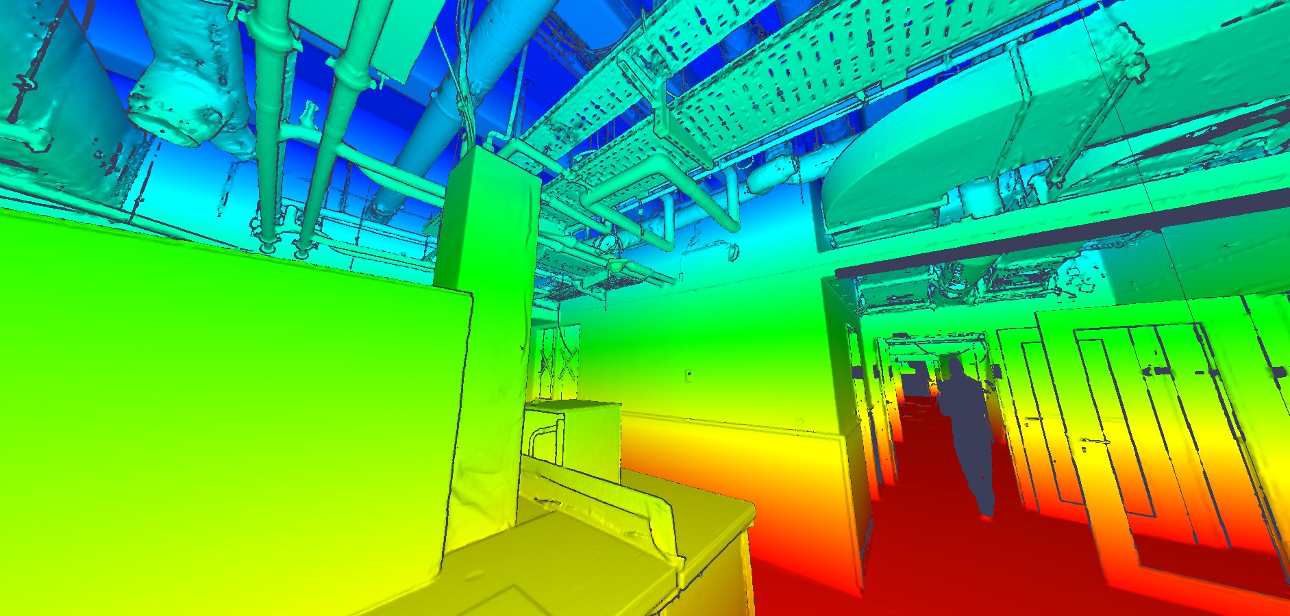
Use decimation tools to reduce polygon count without sacrificing detail, making models more manageable. This means you need to find a solution that offers the best mesh-based functions, turning your point cloud data into high resolution, compressed meshes which makes navigation and interpretation easier. This also allows you to enhance textures for realistic renderings while balancing file size.
Your export settings are also a top priority needing further consideration. Find a solution that allows you to diversify your file formats, making you compatible with any hardware or software solution for every step of laser scan interpretation, including scanning and model implementation. Choose file formats compatible with your target applications, whether for VR, CAD, or GIS platforms.
Common Pitfalls to Avoid
While optimizing reality capture software, be mindful of common mistakes:
Overloading the System: Avoid overloading your hardware with excessively dense data. Balance detail with performance.
Skipping Calibration: Neglecting camera or scanner calibration can lead to inaccuracies.
Ignoring Updates: Keep your software and hardware up to date to access the latest features and fixes.
Why Choose Cintoo for Optimizing Your Reality Capture Workflows
For professionals looking to streamline their reality capture workflows, the Cintoo platform offers a game-changing solution. Specializing in managing, visualizing, and sharing laser scan and 3D model data, Cintoo’s capabilities ensure seamless integration with your reality capture software.
Cintoo allows for efficient cloud-based workflows by enabling teams to store, process, and collaborate on large datasets without the need for extensive local hardware. Cintoo compresses laser scans to 10-20 times smaller than their original size, making your virtual project easy to navigate and move around in. Reducing size doesn’t mean you’re compromising on quality either. Cintoo’s engine maintains the high-resolution data set integrity, making data sharing and visualization effortless.
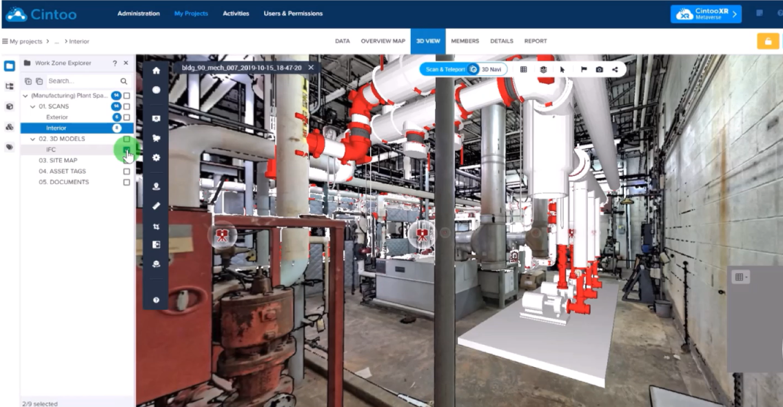
With cutting-edge rendering capabilities, Cintoo provides intuitive tools for analyzing and presenting 3D models. Tools like asset tagging, annotations, classification detection, automatic measurements, BIM/CD comparisons, seamless progress monitoring, and metadata extrapolation means that you can utilize your virtual project site as if you were visiting it in person!
You want to make sure you have a solution that is also compatible with many other softwares and hardwares. Compatible with leading reality capture tools, Cintoo enhances existing workflows by bridging gaps and optimizing data handling.
By adopting Cintoo’s platform, you’ll elevate your reality capture workflows, delivering high-quality results faster and more efficiently.
Optimizing reality capture software is an ongoing process that combines strategic planning, technical expertise, and the right tools. From refining data acquisition techniques to leveraging advanced platforms like Cintoo, each step contributes to creating accurate and usable 3D models. By following these best practices, you’ll not only enhance your projects but also set a benchmark for efficiency and quality in reality capture.

