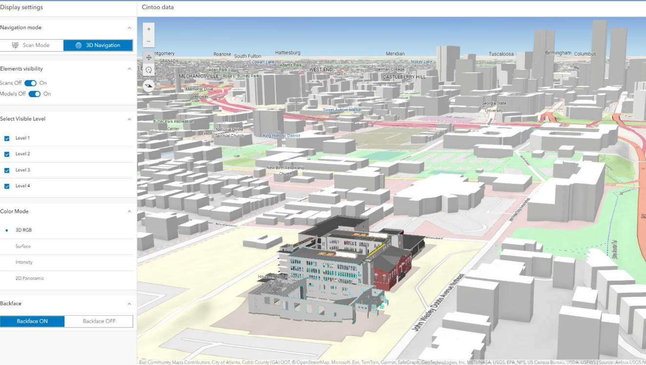
Buckeye, a utility and energy infrastructure operator, manages several brownfield facilities that require accurate as‑built documentation, ongoing inspections, and coordination across engineering teams. To streamline these workflows, Buckeye uses the Cintoo Experience Builder Widget inside ArcGIS to bring high‑resolution laser scans directly into their GIS environment. The widget streams lightweight 3D meshes with full fidelity, enabling teams to visualize indoor and outdoor as‑built conditions with survey‑grade detail.
Using the widget, engineers can navigate scan data from field captures, switch between RGB and intensity modes for precise inspection, and compare current site conditions to BIM or CAD models using the built‑in comparison tool, all within ArcGIS. This helps Buckeye identify discrepancies, plan retrofits, and assess safety risks in aging infrastructure, right within their Esri-hosted project,
Because the Cintoo mesh is streamed directly in ArcGIS, Buckeye’s GIS analysts can integrate reality capture with existing spatial layers, asset maps, and operational data. This allows project managers to make informed decisions on maintenance, renovation, or decommissioning activities while keeping all stakeholders aligned in one platform. The result is improved accuracy, reduced site visits, and a more efficient workflow for brownfield modernization projects.
