Tagging assets across complex industrial environments is a time consuming and laborious task. Leveraging AI, Click and Tag reduces tagging time from over a minute per asset to just seconds by replacing manual 3D bounding box manipulation with real-time segmentation.

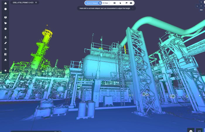
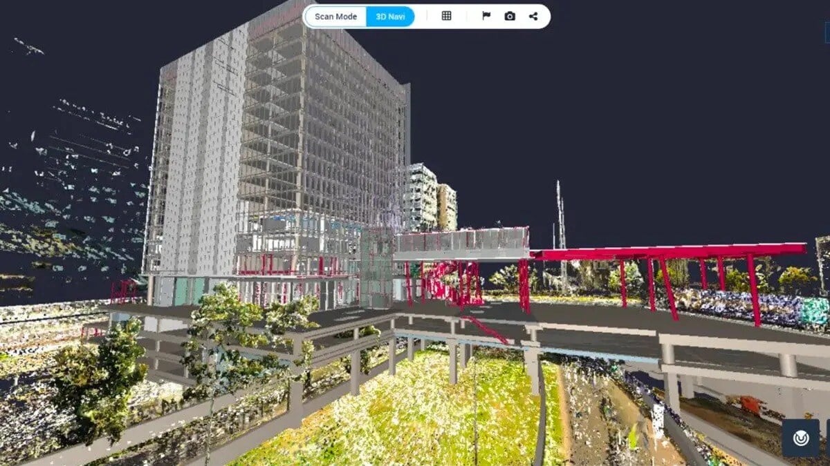
The new 360 Edition delivers a unified 360 + 3D workspace, merging 360 capture, scans and models together in one unified view. Explore the power of a democratized, end-to-end solution today.
.jpg?width=2000&name=Cintoo%20360%20Screenshot%205%20(1).jpg)
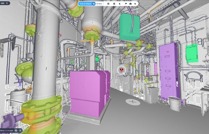
At Cintoo, we’ve reimagined the potential of technical documentation by introducing our cutting-edge P&ID Explorer, allowing users to integrate their technical documentation with their as-built scan data and BIM/CAD models.


All features integrate across your workflow


This ebook highlights why upfront planning is crucial to capture high-quality scan data and ensure smooth downstream workflows.
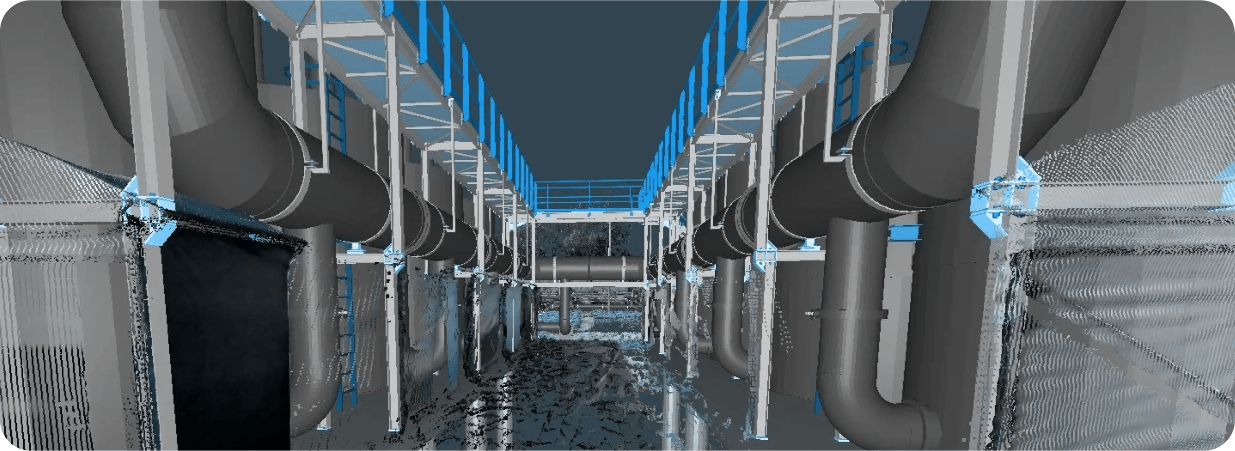
Discover how Cintoo transforms complex 3D scan data into lightweight, high-resolution meshes. Break down data silos, collaborate easily, and unlock BIM and digital twin workflows.