.
Cintoo_Logo_2023_1_w

Customer Story: Volterra-Detroit Foundation

Volterra – Detroit Foundation turns to Cintoo Cloud as the central point cloud management to preserve architectural treasures dating from the Roman and Etruscan eras.

Volterra company logo

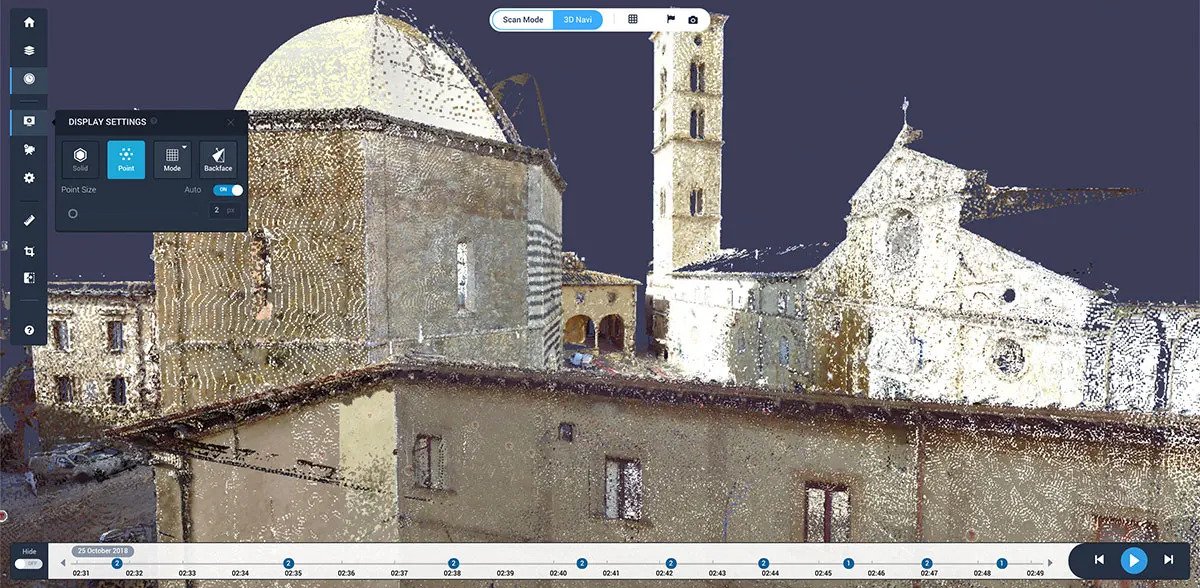
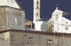
Cintoo Cloud enables the Volterra project to store massive scan data of the entire town and enable collaboration from a diverse, worldwide team of Reality Capture experts, project managers and public officials involved in the project.

Mark Dietrick,

Director of Services, Case Technologies
Board of Directors,Volterra-Detroit Foundation

Background

Since 2016, the Volterra-Detroit Foundation has worked in Volterra, Italy with experts in 3D reality capture technology, aerial and ground-based photogrammetry to record the city’s archaeological sites and artefacts. This collaborative group, known as the International Reality Capture Workshop is made up of architects, surveyors, 3D specialists, engineers, and historians from different organizations and countries.

The long-term objective is to create a complete digital document of Volterra’s sites using 3D tools and methodologies, to preserve these assets digitally and improve both archaeological and architectural research. As a work group, Volterra technology partners include Autodesk, Case Technologies, 3DR, Faro and Cintoo who can test their latest 3D products and solutions in a complex historical urban built environment.

Cintoo approached Case Technologies, one of the key technology stakeholders in the project, to try a revolutionary new approach for handling the gigantic point clouds being generated from the terrestrial laser scans in Volterra: Cintoo Cloud.

Cintoo Cloud provides a unique point cloud-to-surface technology, to convert high-precision terrestrial laser scans into a 3D surface mesh before uploading to the cloud. The mesh reduces the file size of the point cloud data by between 10 and 40 times, without reducing data accuracy or simplification in any way. What’s also unique is that Cintoo Cloud can convert the mesh data back into its original format so it can be used directly in CAD software, with the same accuracy as the original point cloud source file.

Workflows Used

Cintoo Cloud

Autodesk Revit to construct BIM models

Autodesk ReCap Point clouds are also linked into Autodesk Revit software to be used to construct detailed Building Information Models (BIM). The Building

ReCap removes point overlaps and unwanted objects from scan All data is also being aggregated and integrated with GIS data in Autodesk Map3D and

Information Models may be used for accurate documentation to aid in research and also for asset and maintenance management applications.

Infraworks software to produce a produce a comprehensive, integrated digital resource for the city.

Results

The data from the Volterra project is enormous, and growing larger every day with an increasing number of technology providers now involved. Cintoo Cloud has provided a solution to manage all this extremely large point cloud data coming in regularly from different providers.

Using Cintoo Cloud, Volterra’s scan data becomes shareable, collaborative and distributable amongst the user group. Every stakeholder on the Scan Volterra project, can access the 3D projects from any location via their own laptop.

Cintoo Cloud provides users with a complete set of tools, such as team member invitations, permissions, assignments, annotations, calendar and notifications.

Cintoo Cloud enables a diverse and geographically dispersed team of people working on the project from different organizations, countries and professions. Project managers can provide users with different levels of permissions, based on their profile, and control access to core features and functionalities of the platform.

As the number of project collaborators increases, existing users share access either by inviting new team members to join the project, or by sending a link to anybody (with password protection and expiry date if needed). People receiving the sharing invite will be able to view the reality data in 3D mode and make their own measurements.

Cintoo Cloud provides a way to easily share the archaeological treasures of Volterra with anyone in the world, without the need for specialized hardware or software.

Cintoo Cloud’s scan to BIM model comparison tools. The Volterra laser scan data is also being used to create detailed BIM models of the architectural sites. Cintoo Cloud enables the upload of BIM models, so scans can then be compared to a BIM model of the structure. Comparing the BIM model and the current build condition to provide an ongoing timeline of the building’s condition. By overlaying the BIM model to the data, the difference between the original BIM model and the current build condition can be analyzed and the differences calculated. This helps measure the effects of damage and help in the restoration or rebuilding of deteriorated structures to its original condition.

Work zones of specific parts of a building can be created, cropped and exported into Autodesk RCS format for direct use in AutoCAD or Revit for Scan-to-BIM. This means teams can work on a specific work zone and scan set without having to manage all that other data from the rest of the project.

Project and Media Links

Learn more about Volterra Project on their web site: http://research.volterra-detroit.org

Access the Volterra 3D projects on Cintoo Cloud*

Please use Mozilla Firefox, Google Chrome or Microsoft Edge V79 (that you can install from here) to view these projects. They can also be accessible from an iOS or Android tablet.

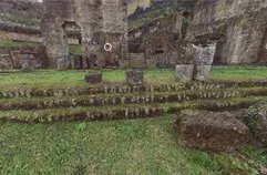
Roman Theatre

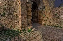
Porta al Arco

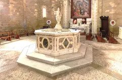
Baptistery of San

Palazzo Di Priori

Join over 50,000 satisfied users who trust us!

Home
Account
Cart
Search